Texas fire map & tracker
The Texas wildfire map and tracker app puts real-time information in your hands. Find out where Texas fires are burning today, how big they are, and how well contained they are. Stay informed about the threats so you can prepare and make sound decisions.


Where are the fires in Texas today?
You can find out where active Texas wildfires are by regularly consulting the Texas fire map and app. Download the app on your phone to get updates about where wildfires are burning, their size, and how contained they are.
Keeping tabs on current wildfires in Texas is the best way to find out if your property is at risk and stay prepared for changing conditions.
Track Texas wildfires today with the interactive fire map or the free Frontline Wildfire Defense App (Android | iOS).
Take Steps Before the Next Fire
If you’re looking for a faster, safer, more precise way to protect your home during the Texas fire season, or any time during the year, we invite you to explore the Frontline Wildfire Defense System and get a quote for your property.
Protect your home today.
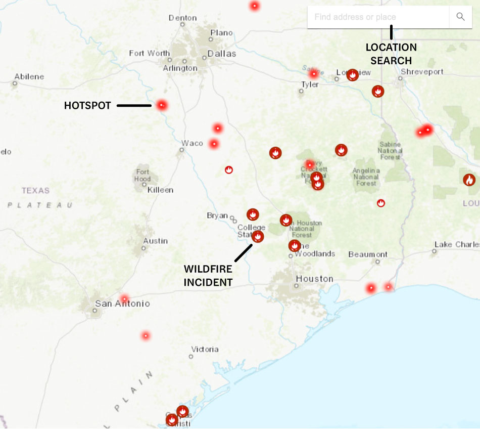
How to read the Texas wildfire map
Use the search bar to type in your location, or zoom and scroll to explore the Texas wildfire map. You’ll see icons showing details for each fire, including:
- Wildfire incident updates: Active Texas fire incidents are displayed with a fire icon and their names. Click an incident to see a timestamp of the most recent update.
- Perimeters: Fire perimeters are displayed on the map with a light red overlay and bold red outline. Note that this is not a live map. While the map is updated regularly, wildfires can spread rapidly. Do not rely on this tracker for precise, current coverage.
- Hotspots: Thermal hotspots are shown as bright red dots. These could be the beginnings of wildfires, or they may be false positives that the satellite picked up due to other incidents, like volcanic activity, oil and natural gas wells, etc.
In addition to tracking Texas wildfires, shown by region, you can use this map to track wildfire activity nationwide.
Track Texas fires near you
Our map-based app helps you see what’s happening right now in your area and the surrounding region. Track fires, smoke, and evacuation orders to stay prepared and in control.
Our Texas wildfire tracker includes:
- Current fires
- Fire perimeter
- Evacuation warnings and orders
- Evacuation planning
- Smoke advisories
- Wind advisories
- Shelter locations


Get help during Texas forest fires
When there are active Texas wildfires in your area, these resources can help:
- Texas fire departments by region, including phone numbers
- FEMA wildfire assistance
- Texas A&M Forest Service
Note: If you need help during an active wildfire or any other emergency, call 911 immediately.
When is Texas wildfire season?
Texas has two wildfire seasons: late winter and late summer through early fall.
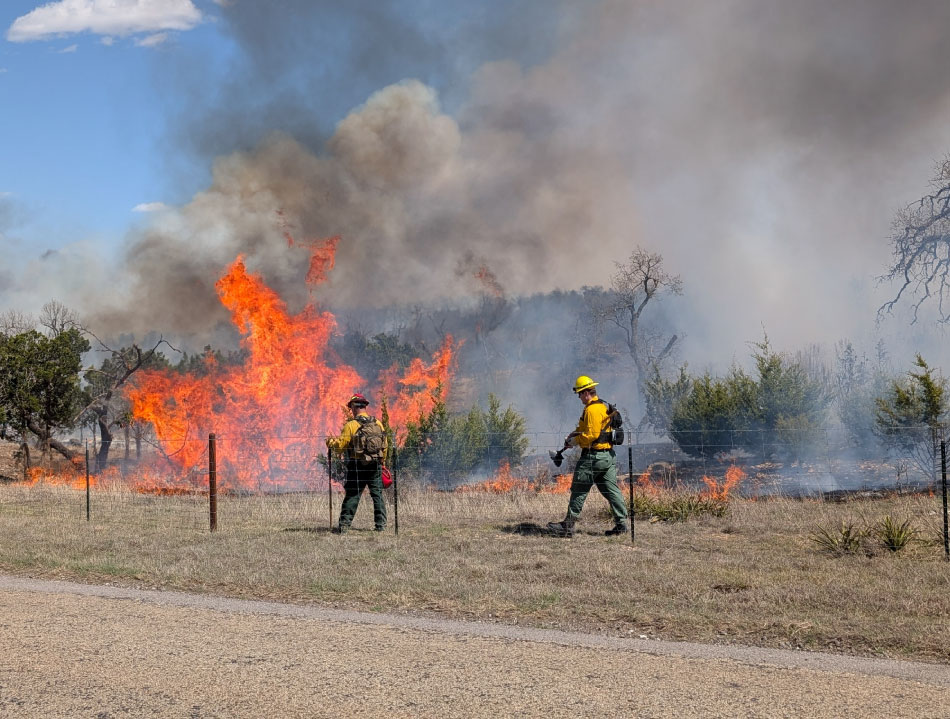
The late-winter wildfire season starts around mid-February and lasts through early April. During this time, vegetation stops actively growing and dries out. This dormant season leaves dry grass that fuels wildfires. Cold fronts bring high winds that can quickly spread the reach of a wildfire.
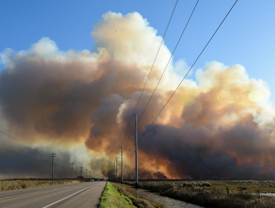
The second wildfire season in Texas runs from late summer into early fall. High heat and dry conditions create a prime environment for wildfires. Climate change is extending the summer dry season and making it more intense.
Residents across the state must pay attention to seasonal risk because 85% of Texas wildfires start within two miles of a community.
Preparing for Texas wildfire season
You can take practical steps to prepare for Texas wildfires, such as:
The first and most critical step in wildfire safety is to stay informed. The following links connect you to information about wildfire potential in Texas:
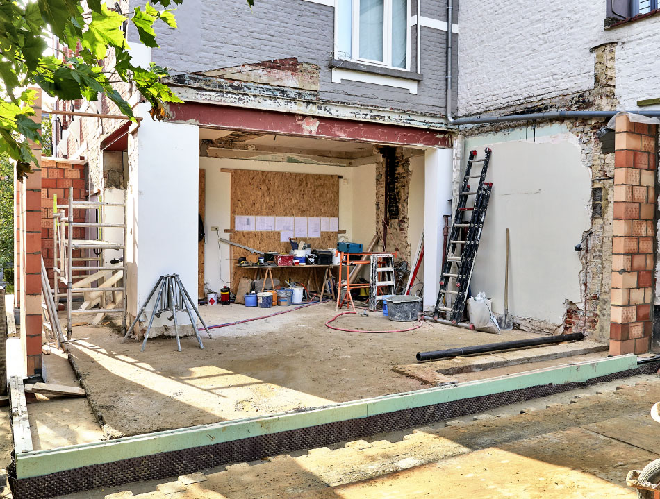
Recovery after Texas fires
Once the flames are out and the danger has passed, the work of rebuilding and restoring begins. The following resources can help guide you through the process of recovery after a Texas fire:
Texas wildfire statistics
The number and size of Texas wildfires vary from year to year.
In 2024, the Smokehouse Creek Fire burned over a million acres, setting the record for the largest fire in the state. The 2025 season is ongoing, but the Crabapple Fire burned 9,858 acres, making it the second-largest of the year so far.
Here are the notable statistics about the past decade of Texas wildfires:

- 2024: 14,780 incidents, 1,128,624 acres burned
- 2023: 8,224 incidents, 299,387 acres burned
- 2022: 8,816 incidents, 210,045 acres burned
- 2021: 8,279 incidents, 709,773 acres burned
- 2020: 9,056 incidents, 829,468 acres burned
- 2019: 12,419 incidents, 893,167 acres burned
- 2018: 15,179 incidents, 1,094,684 acres burned
- 2017: 12,598 incidents, 1,244,265 acres burned
- 2016: 9,587 incidents, 817,436 acres burned
- 2015: 9,439 incidents, 207,055 acres burned
Source: Texas A&M Forest Service
What causes wildfires in Texas?

Texas wildfires are caused by a combination of factors, but the majority are human-caused. Conditions like hot temperatures and dry landscapes create an environment ideal for fires to start. Below are the leading factors of Texas fires:
- High temperatures: Higher summer temperatures dry out vegetation and soil, making it easier for a wildfire to start and spread.
- Drought: Lack of rain during the hotter months increases evaporation rates, drying out the landscape more quickly and thoroughly.
- Greater fuel load: Wet periods followed by dry, hot periods create more fuel for a fire. Vegetation grows vigorously when it rains frequently. Then it all dries out when the rains stop, creating fuel for intense fires.
- Low humidity: If the soil remains moist during hot days, morning dew forms to keep vegetation alive. When the soil dries out, the fire risk grows.
- Longer fire seasons: The fire season is extending beyond the traditional months, especially in eastern Texas.
FAQs
When was the largest wildfire in Texas history?
The Smokehouse Creek Fire, which started on February 26, 2024, in Hutchinson County in the Texas panhandle, was the largest wildfire ever to burn in the state. Dry and hotter-than-normal temperatures contributed considerable fuel to it. Wind whipped it up and drove it to burn over a million acres.
How common are wildfires in Texas?
The Texas fire map shows increasing frequency and severity of fires in the state. In the last twenty years, over 243,000 separate fires burned 13.9 million acres.
In addition to the record-setting Smokehouse Creek Fire, the Bastrop Fire set records as the costliest fire in state history. As of 2024, 244,617 Texas homes were at risk of damage or destruction by Texas wildfires.
Which areas of Texas are most prone to wildfires?
Certain regions in the state are more prone to wildfires. These include:
- The Texas panhandle: This region saw the state’s largest wildfire. The dry grasslands and strong winds increase the risk of fire in West Texas.
- Austin area: The risk of Austin wildfires is high, particularly in the wildland-urban interface, areas on the edge of development. Fire in central Texas is a growing risk.
- Eastern Texas: The expansive pine woods and hardwoods contribute to East Texas fire risks. Texas forest fires are fed by the trees, even though the area is wetter than the rest of the state.
Texas forest fires need the right combination of fuel and weather conditions. Environmental conditions are creating vulnerabilities in the state that rivals California.
Are wildfires affecting the insurance industry in Texas?
Yes, Texas fires are changing the dynamics of the insurance market in the state. While not quite as dire as the California insurance market, premiums in Texas are skyrocketing.
According to the Insurance Information Institute, Texas ranks third highest in the number of homes at risk from wildfires, after California and Colorado. The scale and intensity of the Smokehouse Creek fire prompted property insurance companies to recalculate their risks.
Homeowners could soon be facing an insurance affordability and availability crisis similar to that in California. In response, Texas passed new laws around the Texas FAIR Plan, which provides homeowners who are denied coverage in the private market with basic homeowners insurance.

Get ahead of the flames. Make the Frontline Defense System your wildfire plan.
Be ready with a plan and an active defense system in place before the Texas wildfire season starts. Frontline’s automated sprinkler system can be remotely activated the moment a wildfire threat is detected, protecting your home and property from approaching embers. Discover how proactive fire protection works and can give you lasting peace of mind.
Track Texas fires in any county
With the Frontline wildfire tracking app on your phone, you have access to a Texas fire map that gives you real-time information that covers all 254 counties in the state. Keep tabs on Texas fires in high-risk areas, like Bastrop County and Hutchinson County. When you wonder about fires in Texas today, you’ll have the answers right in your hand.
About the Texas Wildfire Tracker and Map
The Texas wildfire map on this page displays the best-known locations and perimeters of active fires in Texas. While elements in the wildfire map are updated daily, it should not be treated as a live wildfire map and is not intended to display evacuation routes.