San Diego fire map & tracker.
San Diego wildfires, both manmade and naturally occurring, pose a significant threat to area residents. During the dry season, small fires can spread rapidly, destroying landscapes, buildings, and everything else in their way. That is why we are sharing these San Diego wildfire resources and alerts to help you stay safe during the San Diego fire season.


2024 San Diego wildfire season outlook
The San Diego fire season starts in May or June and runs through October, however, the area is always at risk of fire. 2023 saw 9 major fires that destroyed 913 acres. 2024 fire risks are high. After several wet years and the rapid growth of vegetation that can dry out and become fuel, wildfire risks are elevated for the coming San Diego fire season.
The Frontline Wildfire Defense System
Protecting yourself, your family, and your property against San Diego wildfires begins with assessing your wildfire risks and accessing local wildfire resources to safeguard your home and family. We created the Frontline Wildfire System that combines wildfire tracking software with automated wildfire sprinkler system to give you faster, safer, more precise home protection.
Protect your home today!
How to read the San Diego fire map
- Fire location search. Use the search bar to type in your location, or zoom and scroll to explore the CA wildfire map.
- Wildfire incident updates. Active fire incidents will be displayed with a fire icon and the name of the fire. Timestamps of the most recent updates can be viewed by clicking on an incident.
- Perimeters. Fire perimeters are displayed on the map with a light red overlay and bold red outline. Note that this is not a live map. While the map is updated regularly, wildfires can spread rapidly. Do not rely on this tracker for precise coverage.
- Hotspots. This map displays thermal hotspots, which are shown as bright red dots. These hotspots could be the beginnings of wildfires, or they may be false positives that the satellite picked up due to other incidents like volcanic activity, oil and natural gas wells, etc.
- National coverage. In addition to Northern California wildfire tracking and Southern California wildfire tracking, this map can be used to track wildfire activity nationwide.
Tracking fires in San Diego, CA
Do more than keep an eye on the San Diego wildfire map. Enter your home address into the Frontline App to see where fires are active and track the threat to your home and family. The app sends you proactive wildfire alerts and notifications, including new fire alerts, red flag warnings, fire weather watch warnings, lightning events, wildfire evacuation notices, and more.
The Frontline Wildfire Defense app includes:
- California fires map
- Weather information
- Fire danger indexes
- Event notifications
- Preparation checklists
- Emergency contact groups
- Remote system controls


Getting help during San Diego wildfires
Keep this list of emergency resources handy for reporting fires. The faster fire crews can contain them, the better:
- San Diego Fire-Rescue Department (619-533-4300)
- List of local fire stations in San Diego
- San Diego County Fire Authority
- 2-1-1 San Diego
- San Diego County Emergency
Remember, if you need help during an active wildfire, immediately call 911.
Preparing for San Diego wildfire season
These fire preparedness resources will help you protect your home in a wildfire. From clearing vegetation from around structures to preparing for what to do when a fire is moving toward your home, thinking ahead is invaluable:
Knowing a fire is burning, how well it is being contained, and the effects of smoke on your health will help you plan your next steps. It makes sense to monitor active wildfires so that you are not caught by surprise if the wind blows them in your direction. Keep an eye on the San Diego fire map. In addition to the devastation of a fire, breathing the smoke is bad for your health and well-being. In both cases, you may wish to leave home–and that takes planning.
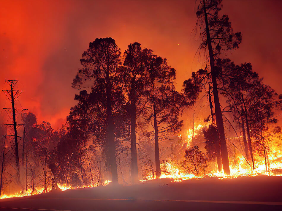
What causes wildfires in San Diego, California?
Like the rest of Southern California, San Diego is prone to wildfires due to its dry and warm climate. Wildfires can quickly grow and spread, especially during the dry summer season. Wildfires don’t just destroy natural areas, they can consume homes and entire communities. If you live in or around San Diego, learn how wildfires get started so that you can do your part in preventing them.
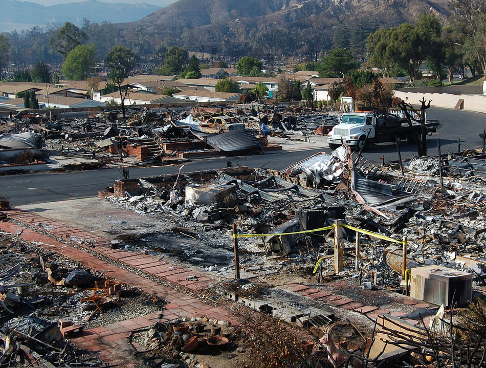
Recovery after San Diego fires
When the worst has happened, these resources will help you deal with the aftermath of a fire.
Statistics and historical data
San Diego has seen thousands of major wildfires. Several of the most notable ones include:
- Cedar Fire (2003). This wildfire consumed 280,278 acres and 2,820 buildings. It started with a lost hunter using a fire to signal for help and ended with losses of $204 million. It’s the largest in the area.
- Witch Creek & Guejito Fires (2007). Triggering the largest evacuation in San Diego County history, this fire was sparked by downed power lines in several areas. The fires spread and merged, eventually burning 188,410 acres, making it one of the largest San Diego wildfires to date.
- Normal Heights Fire (1985). This fire burned 300 acres, causing the evacuation of 1,000 to 1,500 people. In the end 57 homes were damaged and 76 were totally destroyed.
- Cocos, Pointsettia & Bernardo Fires (2014). This swarm of fires north of the city burned 26,000 acres and destroyed 65 structures.
- Border Fire (2016). Burned for 11 days and destroyed 7,609 acres southeast of the city in the community of Potrero.
- Valley Fire (2020). The most recent major San Diego wildfire burned down 30 homes and destroyed 16,390 acres in the Cleveland National Forest east of the city.
FAQs
When was the worst fire in San Diego’s history?
The worst wildfire in San Diego’s history was The Cedar Fire in 2003, destroying 280,278 acres and 2,820 buildings, with losses estimated at $204 million. The fire killed 15 people.
How often is San Diego affected by wildfires?
San Diego wildfires happen every year, although some years are worse than others. A typical year sees 10 to 15 major fires. Years with more rain see a lower incidence of wildfires. Drier years, especially after wet years, pose greater risk due to the increased vegetation that dries to become kindling for a fire.

Get ahead of fire damage with Frontline Wildfire Defense
Preparing for wildfires can save your property and even your life. Preventing damage is possible with the right approach. Buying wildfire insurance can give you the resources you need should you suffer a loss due to wildfires. A wildfire sprinkler system can prevent embers that blow onto your roof from starting your home ablaze. Explore how Frontline Wildfire Defense can get you ahead of the flames.
About the San Diego Wildfire Tracker and Map
The San Diego wildfire map on this page displays the best-known locations and perimeters of active fires in San Diego, California. Keep in mind that while elements in the wildfire map are updated daily, it should not be treated as a live wildfire map and is not intended to display evacuation routes.