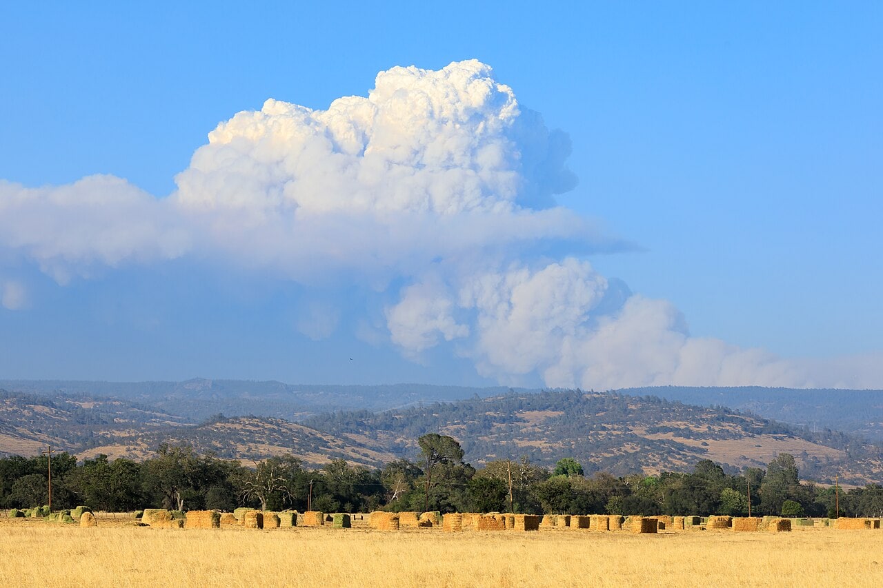
When most people think about wildfire risk, they picture dense forests, heavy fuels, and flames moving through tree canopies. But the data tells a different story.
A recent peer-reviewed study published in Science looked at three decades of wildfire and housing data across the United States. They found grasslands and shrublands accounted for a significantly larger share of total burned area and, importantly, a larger share of structure loss.
In other words, many of the most destructive fires affecting communities aren’t happening in forests at all.
The Nature of Fast-Moving Fire
Grasslands and shrublands behave differently than forests.
They are made up of what’s often called “flashy fuels” or fine vegetation that dries quickly and ignites easily. Under the right conditions, these fuels allow fire to spread rapidly across large areas especially when driven by wind.
This is why some of the most damaging fires move at speeds that make real-time suppression extremely difficult. They move quickly, spreading embers and igniting structures far ahead of the main fire front. In many regions, grasses cure and dry out well outside of summer months which means wildfire risk can persist nearly year-round when conditions align.
Why This Matters for Communities
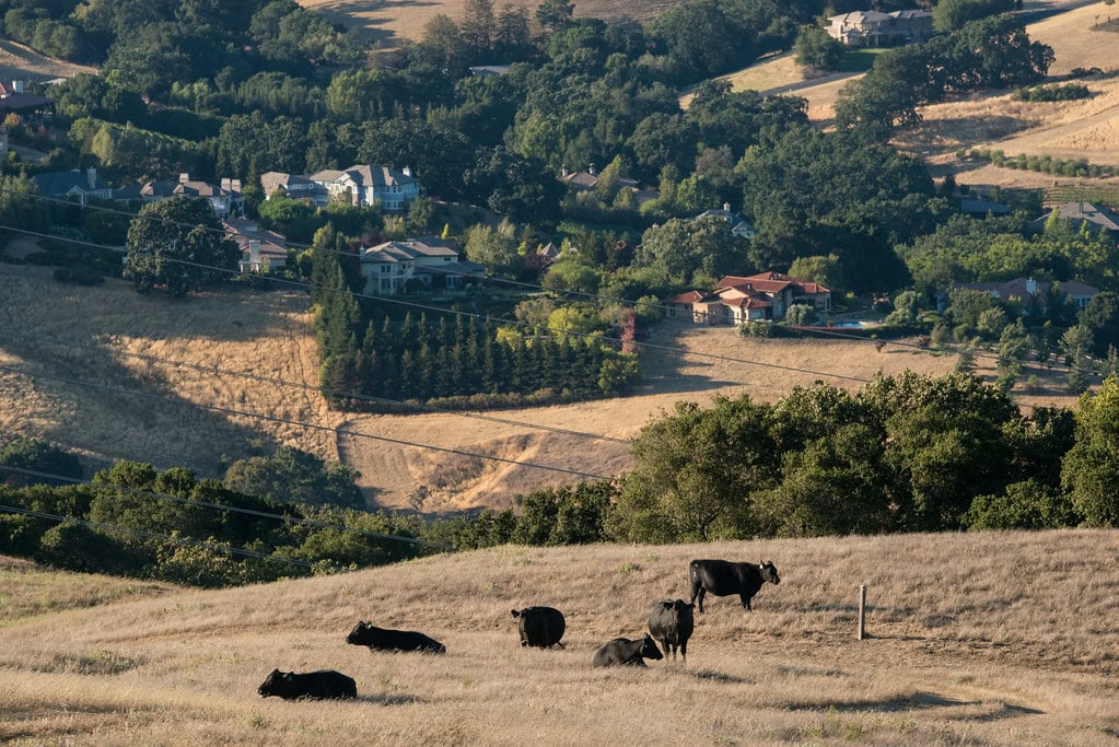
Many communities across the country are near grassland and shrubland environments. These areas may not look high-risk but they can produce some of the fastest-moving and most destructive fires. When a fire is wind-driven and moving quickly, there is often little opportunity to stop it at the landscape level. Firefighters cannot be everywhere at once and under extreme conditions, even well-resourced suppression efforts are limited in what they can do. That means outcomes are often determined not by whether a fire occurs but by what happens when it reaches a community.
Recent Grassland Fires:
- LA Fires (Palisades, Eaton, and Hughes Fires), January 2025 – Dry winter grasses acted as a wick, pulling flames from the hillsides directly into dense residential neighborhoods. Over 18,000 structures were lost and 57,500 acres burned. (USGS)
- Smokehouse Creek Fire (Texas Panhandle), February 2024 – The largest fire in Texas history, it showed how shortgrass on the prairie can lead to the destruction of homes and ranching infrastructure. Approximately 500 structures were lost and 1.05 million acres burned. (American Red Cross)
- Lahaina Fire (Maui, HI), August 2023 – Fueled by invasive, non-native grasslands like Guinea grass and Buffelgrass, these grasses grew thick in abandoned plantations surrounding the town. Over 2,200 structures were lost and 2,170 acres burned. (NASA)
- Marshall Fire (Boulder County, CO) – December 2021 – This fire started in the mixed-grass prairies of Boulder County during a winter drought, proving that grass fires can destroy a community in a single afternoon. 1,084 homes and seven commercial properties were lost along with 6,080 acres burned. (NOAA)
- Tubbs Fire (Santa Rosa, CA) – October 2017 – The fire’s rapid initial spread was facilitated by the grass-covered hills and oak savannahs, allowing it to jump a six-lane freeway to reach the city. 5,636 structures were lost and 36,807 acres burned. (Cal Fire)
The Limits of Landscape-Scale Solutions
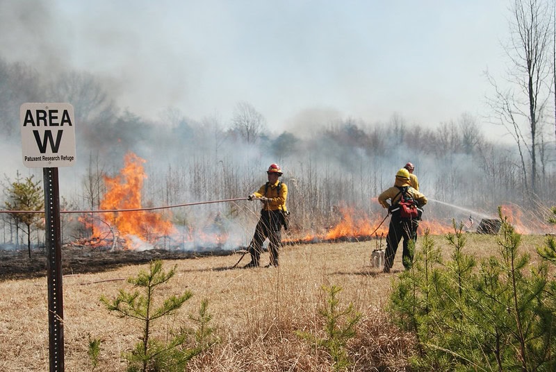
For decades, much of our approach to wildfire has focused on managing fuels across large landscapes. This is done by thinning forests, conducting prescribed burns, and creating fuel breaks. These tools are highly dependent on location, conditions, and timing. In grasslands and shrublands fire can travel miles in a matter of hours and embers can bypass treated areas entirely. So these approaches may have limited influence on whether homes are ultimately lost.
Focusing on What We Can Control
The most effective place to focus is on what we’re trying to protect. Homes and structures most often ignite because of wind-driven embers. Home hardening, defensible space in the immediate area around a structure, and active protection systems all directly reduce the likelihood of ignition. These approaches don’t depend on where a fire starts or how fast it moves. They work by changing the outcome at the structure itself.
This is the layer of wildfire resilience that is often missing from the conversation.
A Broader View of Wildfire Risk
Wildfire is not just a forest problem. It’s a systems problem. Fires will continue to occur across grasslands, shrublands, and forests alike. The question is not whether we can eliminate wildfire risk altogether but whether we can make its impacts more predictable.
That requires expanding how we think about mitigation, where fires start, how they spread and what we are doing at the structure level to plan for when fire does occur, it doesn’t have to result in structure loss.
More from the Frontline Blog
All Posts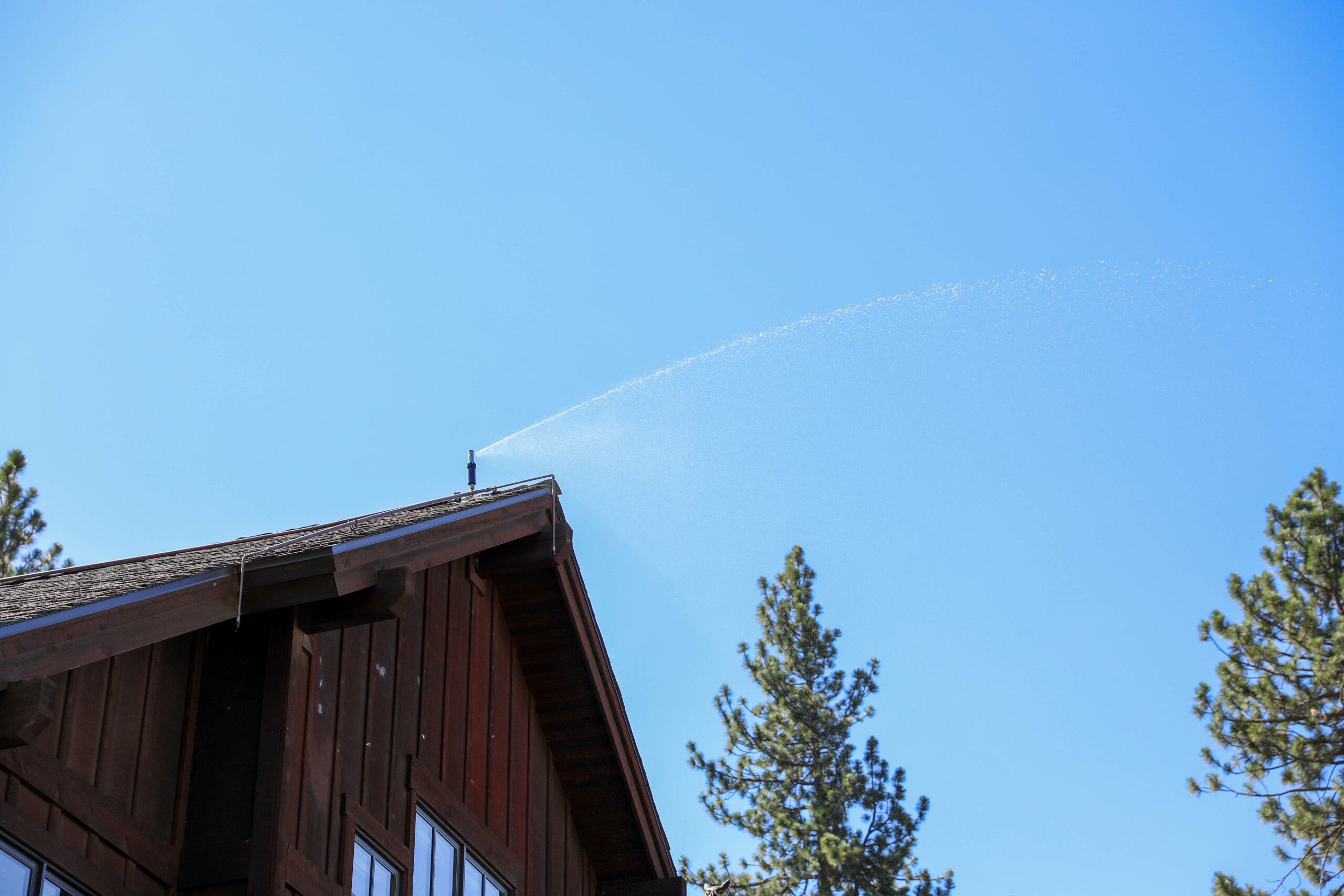
When living in a wildfire-prone region, protecting what matters most requires more than just standard preparation. Golden Bear Solar...
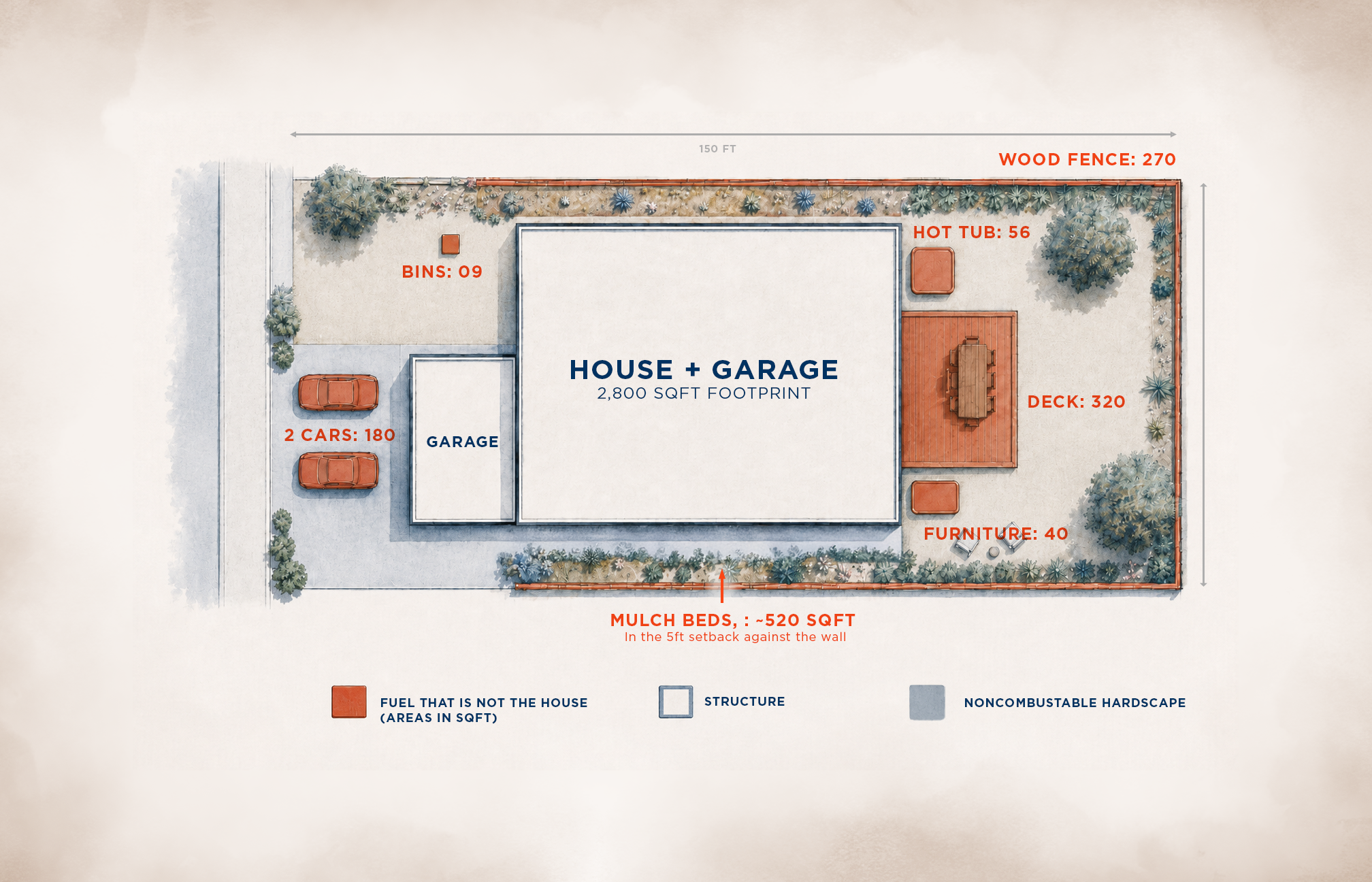
A Massive Gap in Passive Structure Hardening Virtually every wildfire expert agrees that wind-driven embers are the primary threat...
Every homeowner’s journey with Frontline begins with a conversation. For many, that conversation comes after experiencing a wildfire firsthand,...